


Today's Forecast: Bright sunshine and warmer temperatures will be in place for your Monday with winds out of the southeast between 10-20 mph with occasional gusts between 25 and 30 mph. Clouds will slowly move in for the afternoon with another upper-level Pacific storm sliding onto the west coast. Highs today should be near or slightly above average with another warm afternoon expected on Tuesday.
BOZEMAN: High: 61; Low: 34. Sunny skies to start the day with afternoon clouds moving in. Winds will stay out of the southeast between 10-20 mph with gusts near 25.
BUTTE: High: 58; Low: 34. Bright sunshine will give way to afternoon clouds. Winds will stay out of the southeast between 10-20 mph.
DILLON: High: 61; Low: 34. Clear skies for the morning with afternoon clouds building back to the region. Southwest winds will stay between 10-20 mph for most of the day and continue for the evening.
WEST YELLOWSTONE: High: 52; Low: 22. Mainly sunny and mild with afternoon clouds. Temperatures remain mild for the afternoon with clouds keeping overnight lows from falling off during the overnight hours.
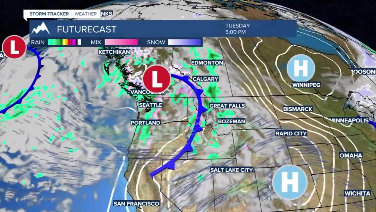
SHOWERS INCLUDING SNOW FOR THURSDAY THROUGH SATURDAY: This week will start off mild, but a Pacific front will drive back to the region on Tuesday and Wednesday. Tuesday’s highs will stay near the middle 60s in southwest Montana with spotty rain showers and high mountain snow. Wednesday will bring numerous showers back to the area for the afternoon and evening, and it will continue into your Thursday. Snow showers are likely to mix into the region late in the evening on Wednesday and early Thursday as highs drop to the middle 50s for high temperatures.
The end of the week will bring another system into place that will bring scattered rain and snow showers to the area as daytime highs fall back to the low and middle 40s for Friday afternoon.
