BOZEMAN – No changes to the overall weather forecast as moisture continues to stream in from the SE and by afternoon the atmosphere becomes very unstable. Thunderstorms are developing over most mountain ranges and will begin to track to the north by late afternoon.
As the thunderstorms mature or reach their full strength, some can stall or move very slowly. This means there is potential for locally heavy rainfall and flash flooding.
A storm system will lift into southern Montana Thursday from the SE and there is a higher probability for more widespread rain and stronger thunderstorms Thursday afternoon and evening.
The National Weather Service has a FLOOD WATCH up for the Butte-Blackfoot region now through this evening. This includes Butte, Anaconda, Deer Lodge, Georgetown Lake, Philipsburg and up to Seeley Lake.
Slow moving thunderstorms could bring another round of locally heavy rainfall and flash flooding is possible.

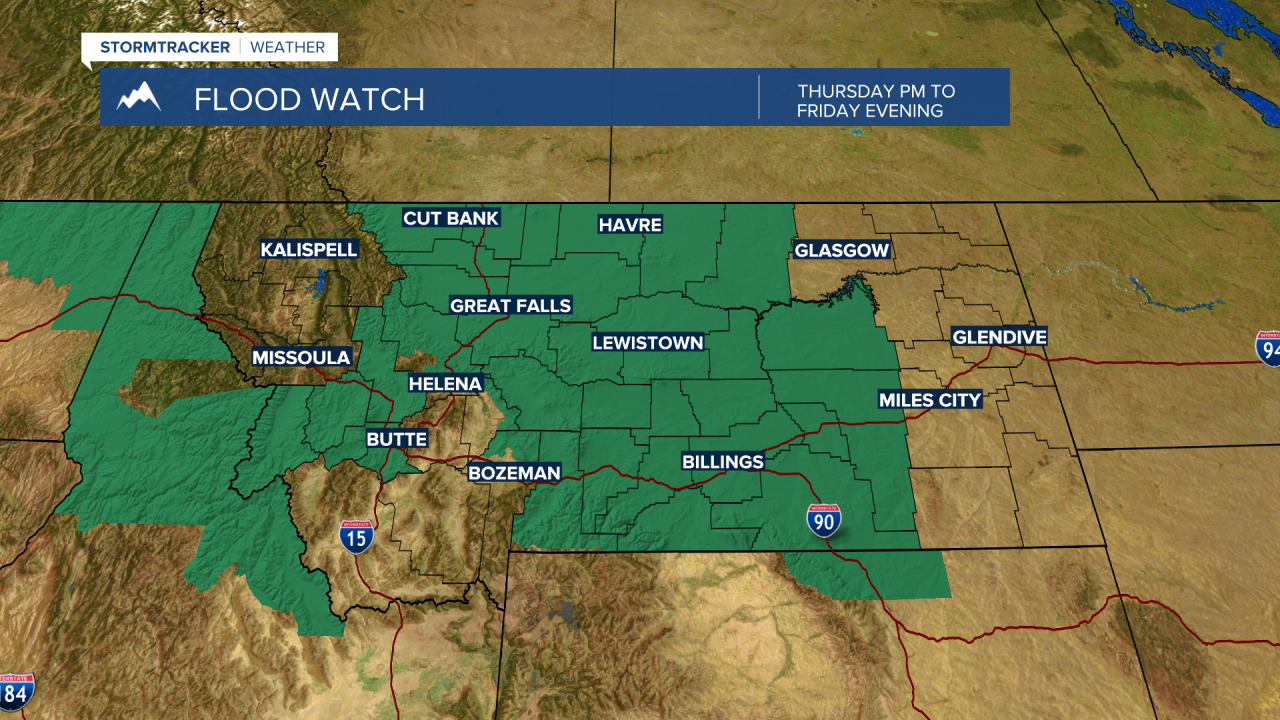
The National Weather Service has a FLOOD WATCH up Thursday afternoon through Friday evening for most of central Montana. This watch includes Park County, northern Gallatin County, eastern Broadwater County, and all of Meagher County.
Again, slow moving thunderstorms capable of producing very heavy rainfall in a short period of time could produce areas of flash flooding.