


BOZEMAN – Another round of extreme heat will grip the entire region from the Pacific NW through the Northern Rockies through Thursday.
Record or near record highs are likely locally across SW Montana Tuesday through Thursday. Lower valleys could see max temperatures in the mid 90s with a few isolated hot spots reaching the upper 90s.
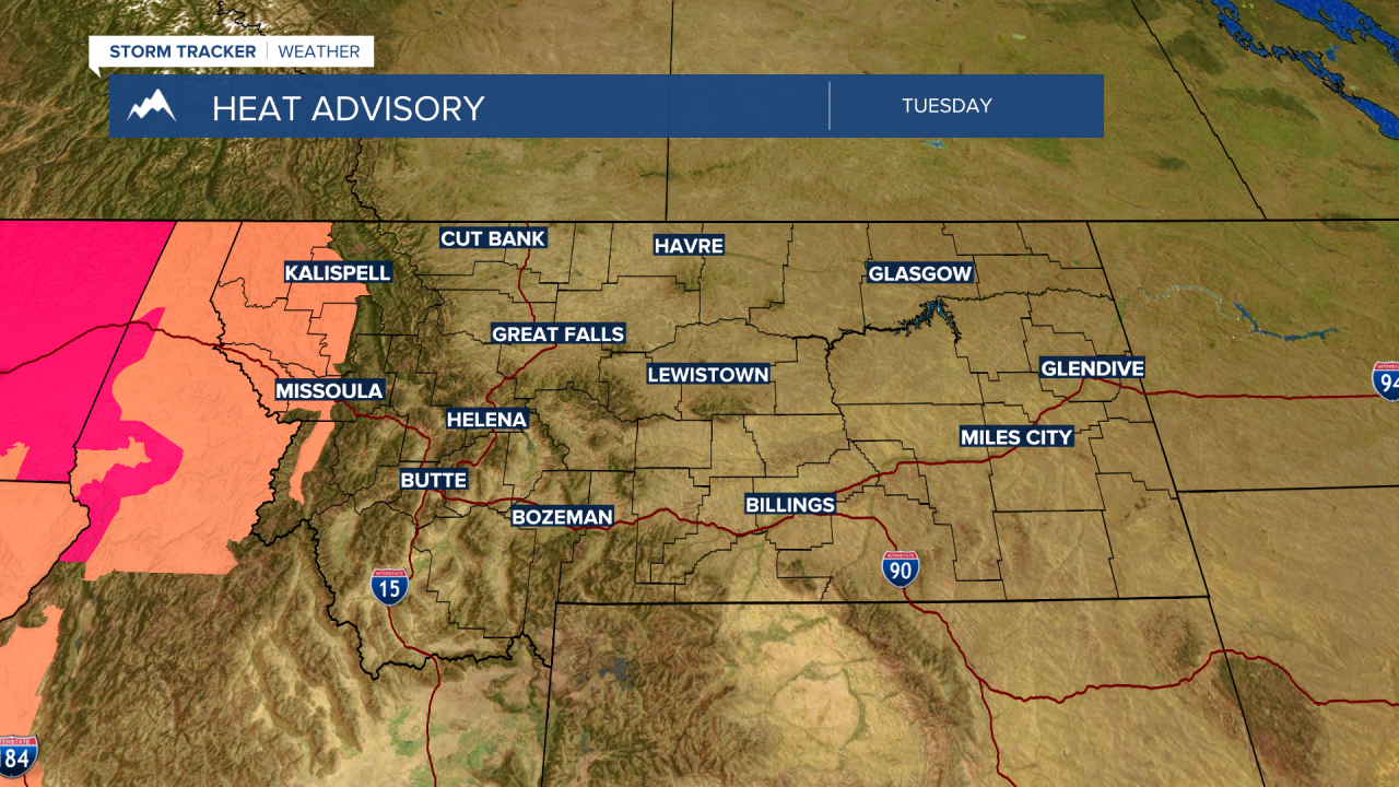
Western Montana could see triple digit heat Tuesday and a HEAT ADVISORY is up between Missoula and Kalispell Tuesday afternoon into Tuesday evening and an EXCESSIVE HEAT WARNING for most of eastern Washington State.
Fire weather concerns are also a side effect of the hot dry forecast this week. Most of NW, North Central and a few counties in central Montana are under a FIRE WEATHER WATCH Tuesday through Thursday. Use extreme caution with all outdoor activities for the rest of this week and please do not operate machinery outdoors during the hottest and driest late afternoon hours.

By the weekend a cold front will drop into the state and kick off a cooling trend beginning Saturday. This could also trigger a few thunderstorms and the fear is possible new wildfires.
By early next week temperatures will fall below to well below normal back down into the mid 60s to lower 70s.
