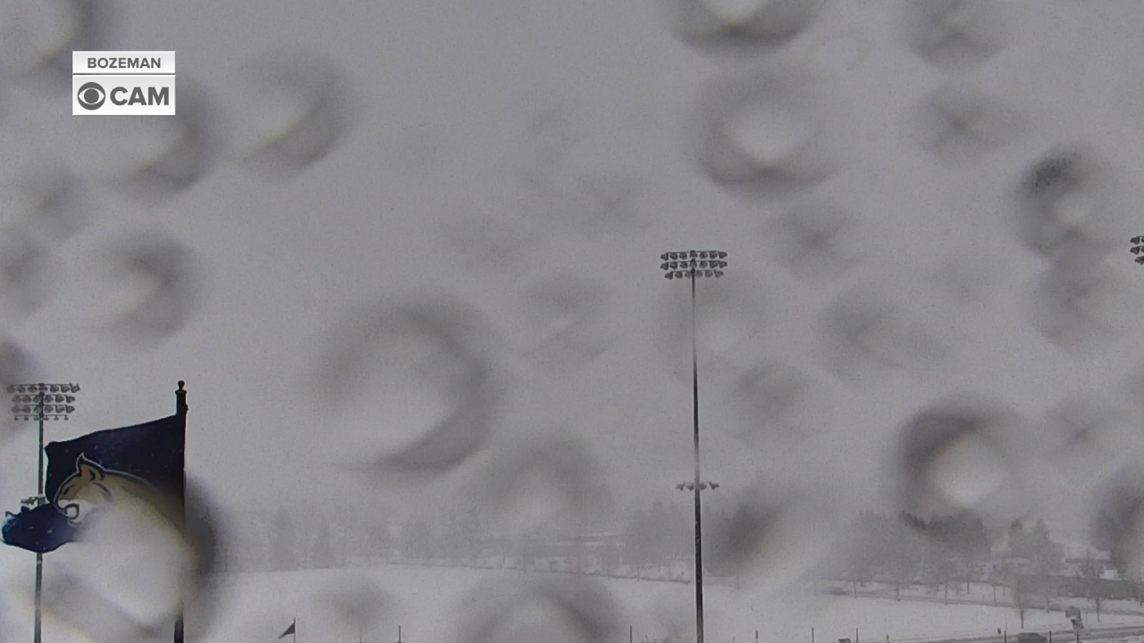
BOZEMAN – An Arctic front is pushing through SW Montana Tuesday afternoon producing widespread areas of snow, blowing snow with low visibility, snow-covered and icy roads.
The combination of snow with wind gusts of 30 to 50 mph will be the greatest travel hazard Tuesday afternoon through Wednesday morning with visibility falling down to a quarter of a mile or less at times especially in high wind regions.

Temperatures are falling quickly and flash freezing of wet roads is also likely producing extremely icy road surfaces.
Forecast lows are still around –10 to –20 below zero Thursday and Friday morning with wind chill values possibly colder than –30 below zero at times.
A rapid warm up is coming by the end of the weekend.
The National Weather Service continues a WINTER WEATHER ADVISORY for the Bozeman area through 5 am Wednesday morning. Snow accumulations between 1”-3” or more is possible, but wind gusts of 40 to 50 mph will produce considerable areas of blowing and drifting snow.
The National Weather Service continues a WINTER STORM WARNING for a majority of SW Montana including Butte, Dillon, Big Sky, West Yellowstone, Ennis, Anaconda, Deer Lodge, MacDonald Pass, Homestake Pass, Georgetown Lake.

Snow accumulations of 1”-6” is possible for lower valleys with 1’ to 2’ feet of higher mountain snow. Wind gusts of 40 to 50 mph will produce considerable areas of blowing and drifting snow with visibility of less than 1 mile and possibly down to a quarter of a mile. High wind areas may experience zero visibility at times tonight into Wednesday morning.
The National Weather Service continues an AVALANCHE WARNING for another 24 hours.


