BUTTE – A nice break from the extreme cold and snow is finally here this weekend. A blocking High pressure ridge is sitting along the West coast and diverting all the Pacific storms to roll up and over Montana through Canada.
A slow warming trend will build this weekend and continue into next week. Forecast highs will be warming above freezing and could eventually reach the 40s and lower 50s next week. At night temperatures will drop down into the teens. So look for valley snowpack melting to occur over the next couple of weeks. Minor lowland flooding and overland flooding is possible, county dirt roads could become impassable if they turn muddy or water overflows poor drainage areas. At night temperatures will be well below freezing slowing snowmelt down and could create very icy roads that have been hit with melting snow during the day.
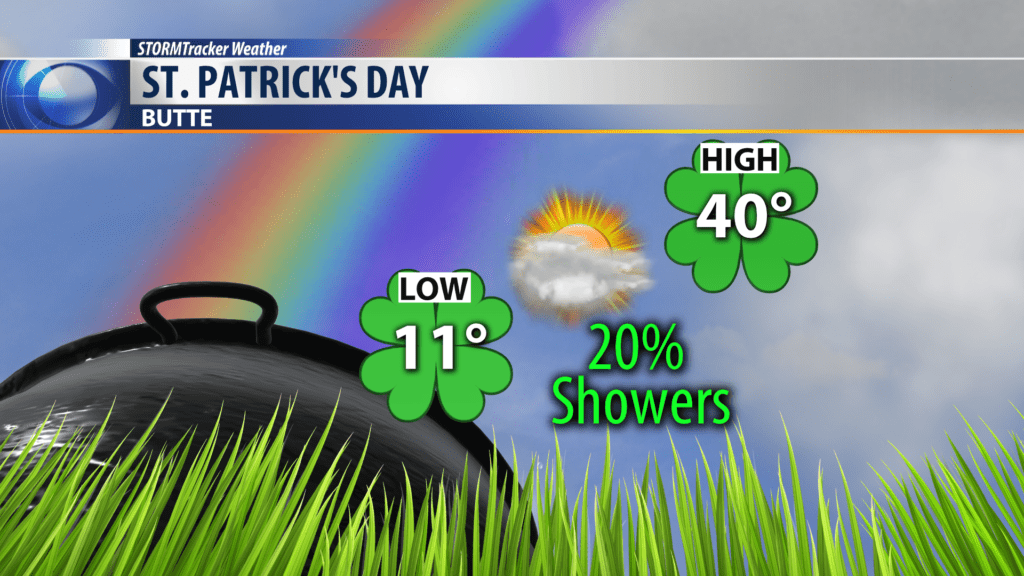
ST. PATRICK’S DAY
Big weekend for SW Montana and St. Patrick’s Day festivities. The weather pattern is looking good and mostly dry with only a slight chance for mostly mountain snow showers Sunday. Travel weather should be good but watch for icy sections of road that were wet during the day.
City by City Forecast:
BOZEMAN: LOW: 10°; HIGH SATURDAY: 35°. Partly cloudy to cloudy for Bozeman tonight int Saturday. Mostly dry with light winds through the weekend. Temperatures will slowly climb into the lower 40s by Monday.
BUTTE: LOW: 7°; HIGH SATURDAY: 38°. Mostly dry weather pattern is likely through this weekend into early next week. There is only a 20% chance for showers on Sunday. Temperatures will be near normal this weekend and slightly above normal next week. Morning lows will remain cold.
DILLON: LOW: 7°; HIGH SATURDAY: 39°. A quiet weather pattern this weekend for Dillon. High clouds overhead will continue into Saturday and Sunday. Temperatures will be cold in the early morning hours but warming up into the lower 40s this weekend.
WEST YELLOWSTONE: LOW: -3°; HIGH SATURDAY: 38°. A nice break in the weather pattern this weekend for West Yellowstone. High clouds and light winds. Morning lows will fall down around zero or slightly below but afternoon highs will be warming up into the upper 30s to lower 40s.
